

Geography, Planning, and Sustainability News

S4 Provides Inspiration for Fledgling Entrepreneurs
UAlbany doctoral student Zhihua Chang participated in his second SUNY Startup Summer School (S4) program, which included four teams from UAlbany among the 2023 class.

FLIP Program Receives Honorary Award for Distinguished Public Engagement
The Department of Geography and Planning, College of Arts and Sciences in partnership with the Capital District Region Planning Commission(CDRPC) was recognized with the 2023 Honorary Award for Distinguished Public Engagement for their Future Leaders in Planning (FLIP) Program at the President’s Award for Exemplary Public Engagement event on April 25, 2023.

Youqin Huang selected as Inaugural Fellow of Provost’s Leadership Academy
Congratulations to Professor Huang for being named one of ten Inaugural Fellows of Provost’s Leadership Academy in 2022-2023.

NSF funding brings industry-integrated education to GIS curriculum
Through a recently-awarded National Science Foundation grant, Associate Professor Rui Li will join principal investigator Associate Professor Jonathon Little of SUNY Monroe Community College in Germany this summer, where the pair will visit two universities of applied sciences. The visit will allow Li and Little to bring geospatial industry-integrated training experiences to their specific GIS curriculum.

The City Authentic: A Q&A with David Banks
Banks, a lecturer in the Department of Geography, Planning, and Sustainability, shares a preview of his new book "The City Authentic: How the Attention Economy Builds Urban America.”

Youqin Huang Named President's Excellence Award Winner
Select UAlbany faculty and staff were honored with the President’s Excellence Awards, which recognize dedication, service, and excellence beyond the call of duty in several categories. Congratulations to Department Chair Youqin Huang for receiving the President’s Excellence Award in Research and Creative Activities. Provost Carol Kim presented the awards after the president’s Spring University Address in the Campus Center West Auditorium.
Mitchell Givens Awarded Situation Prize for Research
The Center for Undergraduate Research and Creative Engagement has named Mitchell Givens, a student majoring in our Urban Studies and Planning program, as a recipient of the Situation Prize for Research – Community, Cause and Advocacy.
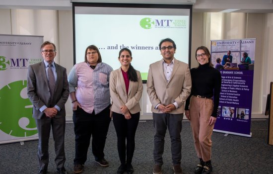
The Graduate School Hosts 5th Annual Three Minute Thesis Competition
The Graduate School's 5th annual Three Minute Thesis competition featured student research on wide-ranging topics — from forest-saving forensics and a local invasive insect to social media hashtags and student mental health.