


Global Celebration of Geographical Information Systems Recognized at UAlbany

By Sophie Coker
ALBANY, N.Y. (Nov. 25, 2025) — University at Albany students gathered last week with state and local vendors to celebrate the dynamic world of Geographical Information Systems (GIS), diving into remote sensing, spatial analysis and the power of geographic data and GeoAI.
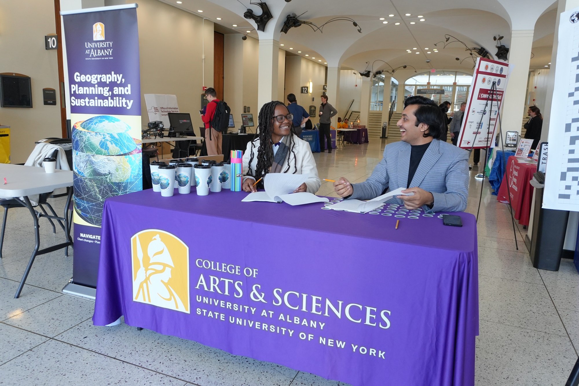
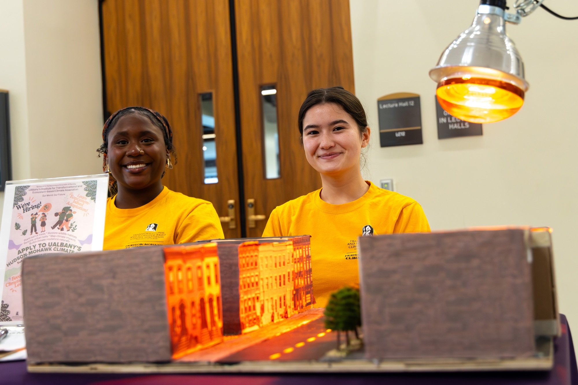
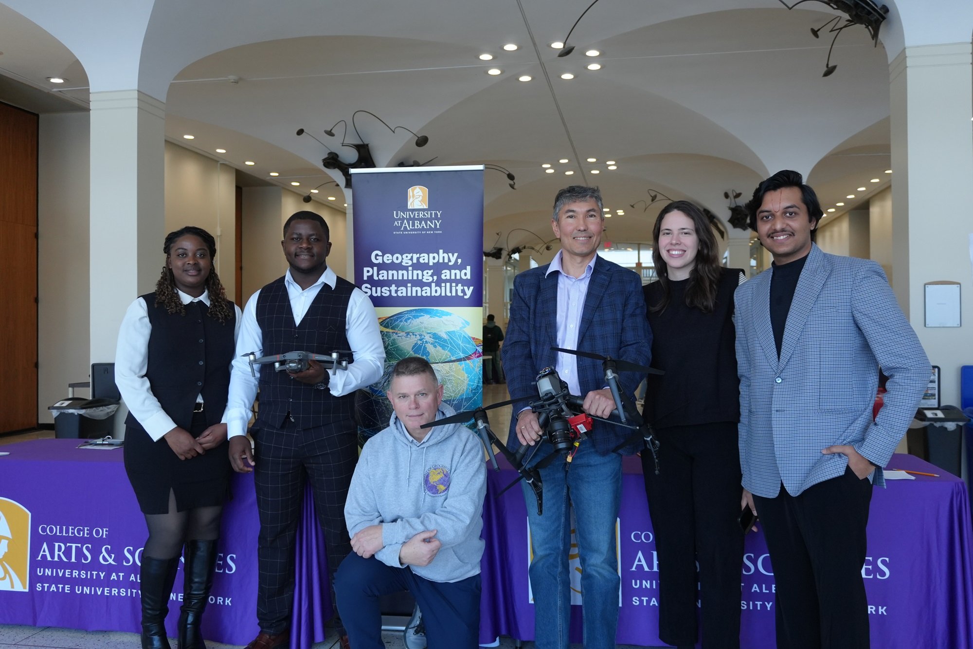
Hosted on Wednesday at the Lecture Center Concourse by the Department of Geography, Planning, and Sustainabilty, students led presentation events, participated in the career fair and attended seminars. The day underscored the industry’s practical power.
GIS is the technology linking maps to digital information. These maps are used as support tools in many fields, including land-use planning, business applications, and environmental management. With events occurring in dozens of countries, GIS Day is a global celebration of technology and professionals working to help us understand the geographical context of data.
Lance Gundersen, a Master of Regional Planning student, noted that being able to show community members the visual impact of urban planning helps them see how it improves functionality without taking anything away.
“We want to put bike routes in my county,” Gundersen said. “GIS provides the visual aspect of informatics to demonstrate how things can work. It broadens horizons and breaks down resistance in conversations.”
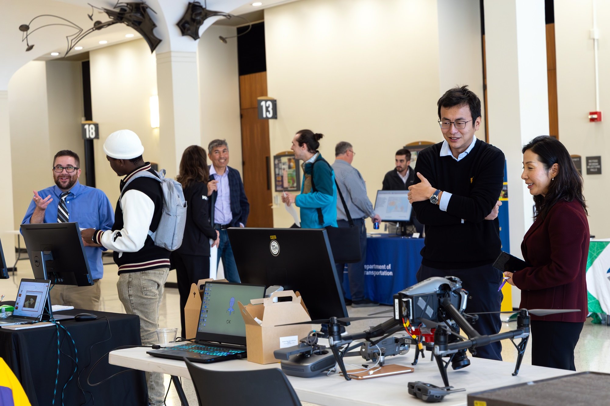
For Geography, Planning, and Sustainability lecturer Xinyu (Joey) Li, human mobility is at the forefront of his research.
Li studies GeoAI and predictive travel technology. Using artificial intelligence, he develops dynamic maps of international travelers to determine where people are more likely to travel to, based on demographic data.
“Having all this information in one place helps us better understand travel patterns. With just a little information about yourself, we can recommend which cities you might enjoy most, based entirely on real historical observations,” Li said.
The university’s Department of Geography, Planning and Sustainability was recently named a member of the University Consortium for Geographic Information Science (UCGIS). This prestigious affiliation connects UAlbany's GIS programs with a national network of leading GIS scholars, institutions and industry partners.
UAlbany’s GIS Day welcomed 10 vendors, including the New York State Office of Information Technology Services and Geospatial Services, Capital District Transportation Council, Capital District Regional Planning Commission, the Office of the Comptroller and more.
Pallav Savaliya, a Master of Regional Planning student and an international student from India, shared the importance of first-hand learning at an event like GIS Day.
“Having the opportunity to speak directly with representatives, not just the third person, gives other students and me the chance to learn what it takes to build stronger communities and to understand how we can help create a better life for everyone.”