


Ross Lazear Explains How Clouds Help Forecast Weather in The Conversation

By Mike Nolan
ALBANY, N.Y. (March 6, 2025) — How do clouds take different forms and help us forecast the weather?
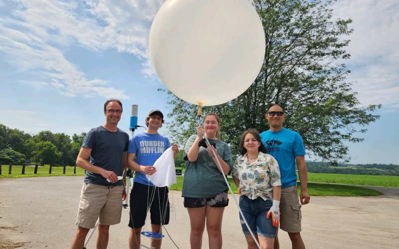
Ross Lazear is an instructor in the Department of Atmospheric and Environmental Sciences with a research interest in the analysis and predictability of severe weather and winter storms.
This week, he published an article in The Conversation’s “Curious Kids” section that explains how we can predict upcoming weather conditions based on which cloud types are visible. Curious Kids is a series where children of all ages ask a question that they’d like answered by an expert.
“I’m a meteorologist, and I’ve been fascinated by weather since I was 8 years old. I grew up in Minnesota, where the weather changes from wind-whipping blizzards in winter to severe thunderstorms — sometimes with tornadoes — in the summer. So, it’s not all that surprising that I’ve spent most of my life looking at clouds,” Lazear said.
“Once you understand how certain clouds develop their shapes, you can learn to forecast the weather.”
Lazear explained that clouds that look like cartoon cotton balls or cauliflower are made up of tiny liquid water droplets, called cumulus clouds. When the edges of these clouds look especially crisp, it’s a sign that heavy rain or snow may be imminent.
Clouds made up entirely of ice, known as ice clouds, or cirrus, are usually more transparent. In some cases, you can see the Sun or Moon through them. Most cirrus clouds aren’t associated with storms, but can form atop a thunderstorm.
He also explained clouds are a result of saturation, which can exist at the ground level. When this occurs, we call it fog.
“When clouds form thick layers, we add the word ‘stratus,’ or ‘layer,’ to the name. Stratus can occur just above the ground, or a bit higher up – we call it altostratus then. It can occur even higher and become cirrostratus, or a layer or ice clouds,” Lazear said. “If there’s enough moisture and lift, stratus clouds can create rain or snow. These are nimbostratus.”
Wind patterns also play an important role in the formation and movement of clouds.
“You might have looked up at the sky and noticed one layer of clouds moving in a different direction from another,” Lazear said. “Clouds move along with the wind, so what you’re seeing is the wind changing direction with height.”
In early 2024, the University at Albany rejoined The Conversation, a nonprofit, independent news organization that publishes trustworthy and informative articles from academic experts. The articles are written for the general public, edited by a team of journalists and are often picked up by other media outlets, including the Associated Press.
UAlbany researchers have published more than 25 articles over the last year ranging from an explainer on how popcorn was discovered to new research on tiny airborne particles within air pollution.
Faculty interested in writing for The Conversation are encouraged to reach out to the Office of Communications and Marketing.