


UAlbany Celebrates Geographic Information Systems Day
By Mike Nolan
ALBANY, N.Y. (Nov. 28, 2023) — From enhancing urban planning and disaster response to optimizing business operations and environmental conservation, geographic information systems (GIS) play a pivotal role in shaping our world.
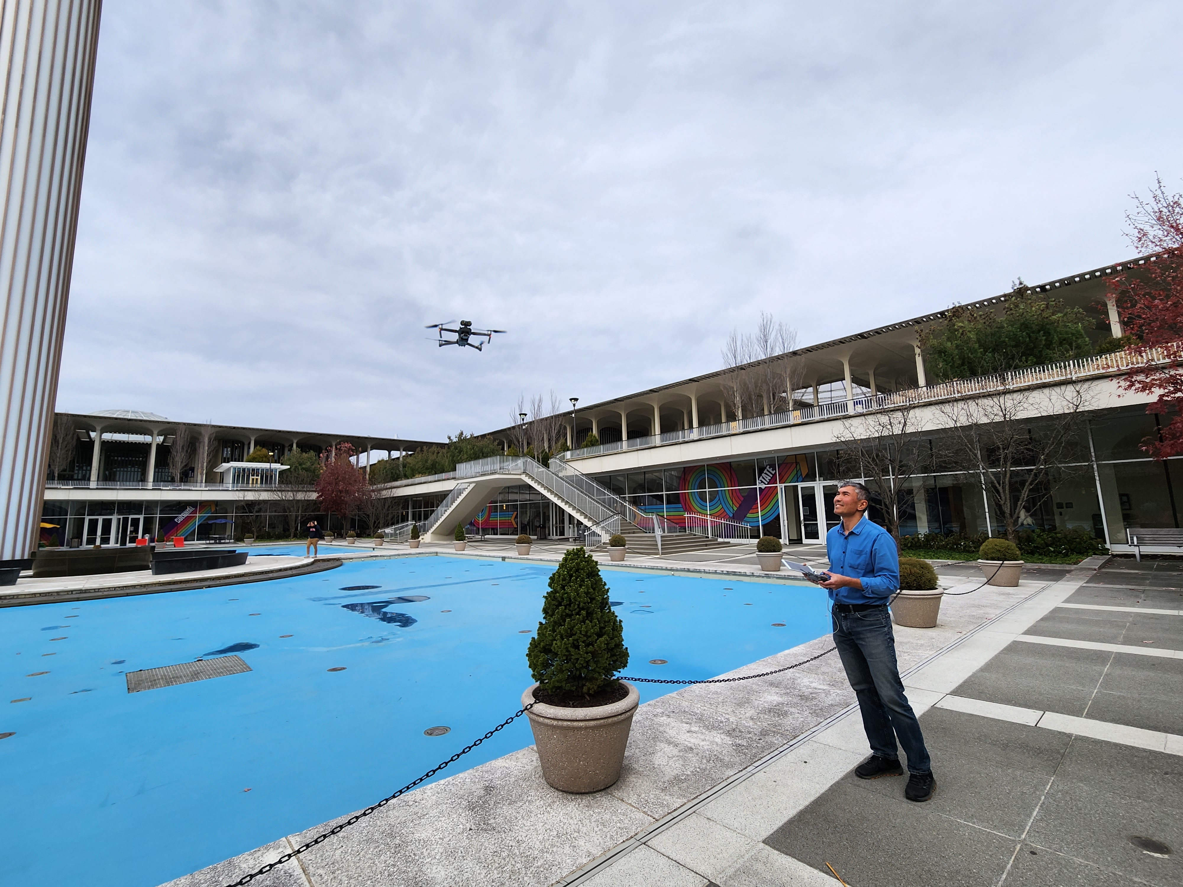
The global GIS software market is growing rapidly, valued at $6.3 billion in 2020 and projected to reach $25.5 billion by 2030. Organizations in nearly every industry use the technology to store, visualize, analyze and interpret geographic data.
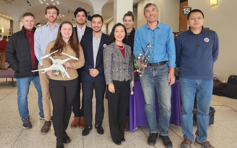
UAlbany students were offered an inside look at the GIS industry during an open house in the Lecture Center Concourse earlier this month. Hosted by the Department of Geography and Planning, it featured student and faculty research presentations, a career panel, resume clinic and networking opportunities with more than a dozen public and private industry partners.
The event coincided with GIS Day 2023, an annual, international celebration recognized by scientists and professionals across the globe.
“GIS technologies are becoming well known and utilized by organizations across many different industries,” said Rui Li, an associate professor in the Department of Geography and Planning, who organized the open house. “We wanted to be part of that larger celebration and offer opportunities for students to interact with local employers that are actively using the technology.”
GIS at UAlbany
Li’s research interests address various aspects of geographic information science, with a specific focus on spatial cognition such as wayfinding behaviors and navigation systems. In addition, he uses GIS and other mapping tools to address local community needs and societal issues, including minority health disparities.
Outside of his research, Li is the program director of UAlbany’s geographic information science master’s program, which offers coursework in topics such as image processing, big data analytics and visualization, augmented reality, spatial statistical analysis and geospatial artificial intelligence.
The Department of Geography and Planning also offers an undergraduate minor in geographic information systems, along with a 15-credit certificate in geospatial artificial intelligence and big data analytics for working professionals and graduate students.
“Emerging technologies, like GIS and artificial intelligence, have become an integral part of our discipline,” Li said. “We want our students to engage with these technologies and be prepared to use them to meet the needs of a changing workforce.”
Classroom to Career
Among the open house participants was Katharine Moser, a graduate student in the GIS master’s program and vice president of UAlbany’s Geography and Planning Student Association (GPSA).
Moser is a GIS intern at the New York State Department of Health’s Bureau of Water Supply Protection and Compliance, where she assists with data management for the state’s public water system.
“Mapping information is the first step to knowing how to manage it and help planners make decisions,” Moser said. “GIS is a great way to augment any career and it’s exploding in popularity across different sectors.”
Jeremy Oles '14, '16, is the owner and operator of MobileMap, LCC, a GIS-based tech company in Malta, N.Y. He is a double UAlbany graduate with a bachelor’s degree in environment science and master’s degree in geography.
MobileMap offers clients various consulting services, including using GIS to help plan, build and operate telecommunication networks.
“My first job was with a telecom company in Mansfield, Mass. We started using GIS to help optimize and expand our network. That led me to this niche market and I started my own consulting company,” said Oles, while tabling at the open house. “My advice to students is to do your own research. Start playing around with GIS tools. Start mapping things. You’ll quickly learn and see all the advantages of what you can do with it.”