


NYS Mesonet Study Tracks the Impacts of Western Wildfires on New York Air Quality
By Mike Nolan
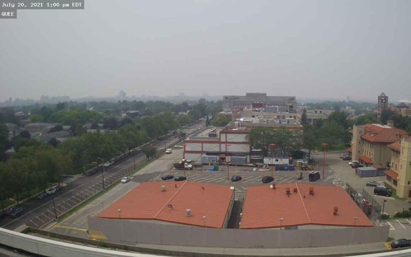
ALBANY, N.Y. (Oct. 27, 2022) — A new study has found that more frequent and intense western wildfires are not only impacting the air quality and visibility in surrounding areas, but also as far away as the East Coast.
The study, led by researchers at the University at Albany, monitored transported wildfire smoke and its impact on air pollution across New York in July 2021 using observational data from the NYS Mesonet – an advanced network of weather stations located across the state.
They found that wildfire smoke originating from the northwestern U.S. and southern Canada significantly elevated air pollutants less than 2.5 micrometers (PM2.5) across the state over two multiday time periods, adversely affecting local and regional air quality.
According to the researchers, PM2.5 emissions have declined across New York and nationally over the last few decades due to new environmental mandates and regulations. However, increased wildfire activity threatens to reverse this trend.
Their findings were published this month in Geophysical Research Letters.
“Wildfires are common across the western U.S. and southern Canada in the summer months and are projected to increase due to climate change,” said Bhupal Shrestha, a senior research support specialist with UAlbany’s Atmospheric Sciences Research Center and the paper’s lead author. “Through our observational research, we detected two significantly elevated multiday PM2.5 episodes across New York that can be directly connected to transported wildfire smoke.”
“The increasing frequency and intensity of wildfires due to climate change are projected to enhance these emissions even more in the near future, potentially offsetting nationwide efforts to regulate air pollution.”
Wildfire Smoke Detection
To detect wildfire smoke, the researchers relied on data from the Mesonet’s 17 profiler sites. Each profiler site is comprised of a scanning Doppler LiDAR and a microwave radiometer that scan the atmosphere and report back in real time. Data is collected, quality-controlled and archived every 10 minutes.
Two significantly elevated emissions observations were recorded across the profiler network between July 18-20 and July 25-27, timed around the peak of the summer’s western fire season. The average peak of hourly PM2.5 exceeded 50.1 micrograms per cubic meter of air (µg/m3) during the first observations and 36.8 µg/m3 during the second. Both were above the U.S. EPA 24-hour standards, a major concern for hazardous air quality.
The increased emissions started about 36 hours earlier in Upstate regions than in Downstate regions, providing convincing evidence that the aerosols were transported from western wildfires and moving across New York, not from local sources.
“Our research demonstrates how the NYS Mesonet Profiler data can improve monitoring of wildfire smoke on a regional scale, assess impacts on air quality, aid satellite measurements and air quality forecasting models,” Shrestha said. “This is a prime example of how the Mesonet serves as a vital observational awareness tool that can improve numerical forecasting models around severe weather events.”
Along with Mesonet data, the researchers used satellite imagery and a back-trajectory model to confirm and track the transport paths of the emissions arriving in NYS.
Real-Time Weather Data
Headquartered at UAlbany, the NYS Mesonet features 126 standard observation stations and several additional specialized networks located throughout the state. The stations are spaced within 17 miles of each other, including at least one in every county and borough. Each offers continuous updates of various localized weather variables with real-time updates and camera images.
Last March, U.S. Sen. Chuck Schumer announced $900,000 in funding for a new atmospheric profiler testbed titled the Empire State VERTEX (Vertical Sensing Evaluation Regional Testbed Experiment) program, which is using Doppler LiDAR instrumentation at each of the Mesonet’s profiler sites to explore and better understand the boundary layers of the atmosphere.
Other study collaborators included June Wang, NYS Mesonet interim program manager and Jerry Brotzge of the Kentucky Climate Center, who is the former NYS Mesonet program manager.