General Interests
- Ecological Modelling
- Remotely sensed assessment of ecosystem condition
- Habitat suitability modelling
- Prioritization of conserved areas
Research Statement
My research focuses around the broad theme of ecological modelling. Research ideas and hypothesis are driven by real world problems. They are developed with the goal to look for solutions and ways to improve current conservation methods, with policy implications in mind, through the use of remotely sensed data. I believe that the natural world deserves conservation to improve the quality of life now and for future generations and the best way to conserve it is to understand it and share with others. I do not look at the use of proprietary software in research as a hurdle for outreach, as everyone has their own flavor of software, since it is the methods and results that are developed which makes my research important and useful. Therefore, to enable reproducible results, my research focuses on the use openly available data, so the methods which I use can be used to help anyone to improve conservation efforts.
Typical methods for my research are quantitative analysis of natural phenomenon. My research usually starts off with defining the spatial attributes of landscapes, via satellite imagery, using ESRI's ArcGIS software to extract descriptions of the landscape. After extraction of the spatial descriptions, all data is exported to a table that is then used within statistical software to test the hypothesis or draw correlations.
For example, a poster presentation which I recently did looked at the relationships between land cover and water quality. The data used was all free of charge, from various sources including the NYS Department of Environmental Conservation's stream data and the US Geological Survey's National Land Cover Dataset (derived from free Landsat imagery). The analysis started within ArcGIS where the total area of each type of land cover was extracted separately for each of the landscapes that are associated with each stream. Next, these landscape descriptions were exported to a table format and opened within Microsoft Excel so that the areas could be normalized to landscape size. Lastly, this data was placed into STATA for regression analysis. The main goal of this project was to develop a landscape model to help prioritize landscape development to conserve water quality.
My current research is starting down a slightly different path. I have completed my course work and have shifted away from conducting independent projects to working with faculty and being a team player. I was hired to work in a lab under a faculty member at SUNY Albany where we are studying urban ecology. I believe I will take a lot away from this opportunity and learn a tremendous deal through hands on experience about academic research and publishing. In the future I would like to take what I am currently learning about the professional research process and apply it to a variety of landscapes, moving away from a strict urban ecological focus to a holistic landscape approach toward conservation.
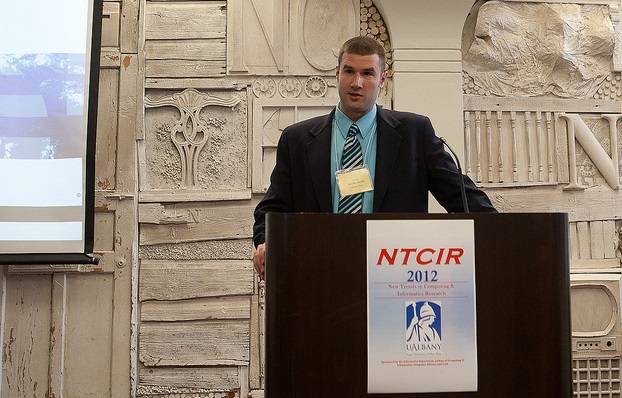
*Images are of me introducing the keynote speaker at NTCIR and the lab I work in.
For a full length PDF version click here
For a full length Word version click here