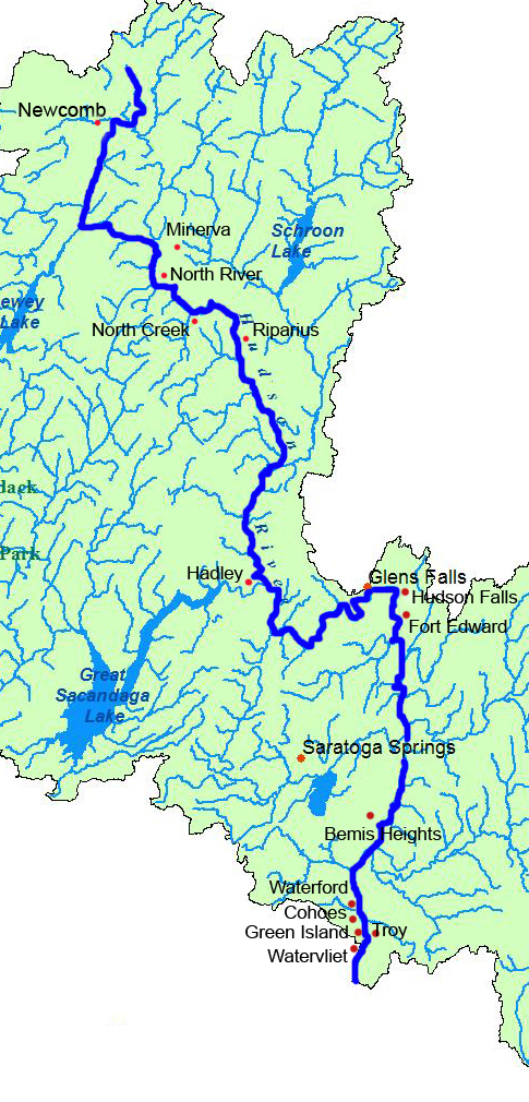
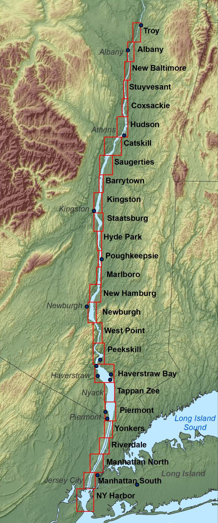
After Hudson ~ Documenting Four Hundred Years in the Life of a River: Sights, Sounds, and Stories of the Hudson River Region, 1609-Present
|
|
ABOUT THIS PROJECT: This is a collaborative multimedia project that emerged form the University at Albany's Hudson400 semester. It brings together in one location the many documentary and presentation projects that were produced during that semester and continue well beyond it. We hope this multimedia interractive site will engage students and the community in the continuing compilation of information -- in the form of still and motion picture photography, audio recordings, print and archival resources and interpretations -- of events, communities, personalities, and natural phenomenon associated with the Hudson River from its source in the Adirondacks to its end in the Atlantic. The marterials we present were collected by dozens of individuals -- professors, students, and community volunteers -- all in the hope of compiling a comprehensice and detailed documentary record of one of the world's important rivers.